Dwarka, March 5, 2025 -The Indo-Pacific Geo-Intelligence Forum took place from March 3, 2025, to March 5, 2025. The forum, organized by Geospatial World, was held at the Vivanta Hotel in Dwarka, New Delhi. MiDAS was invited as a guest speaker for two events:
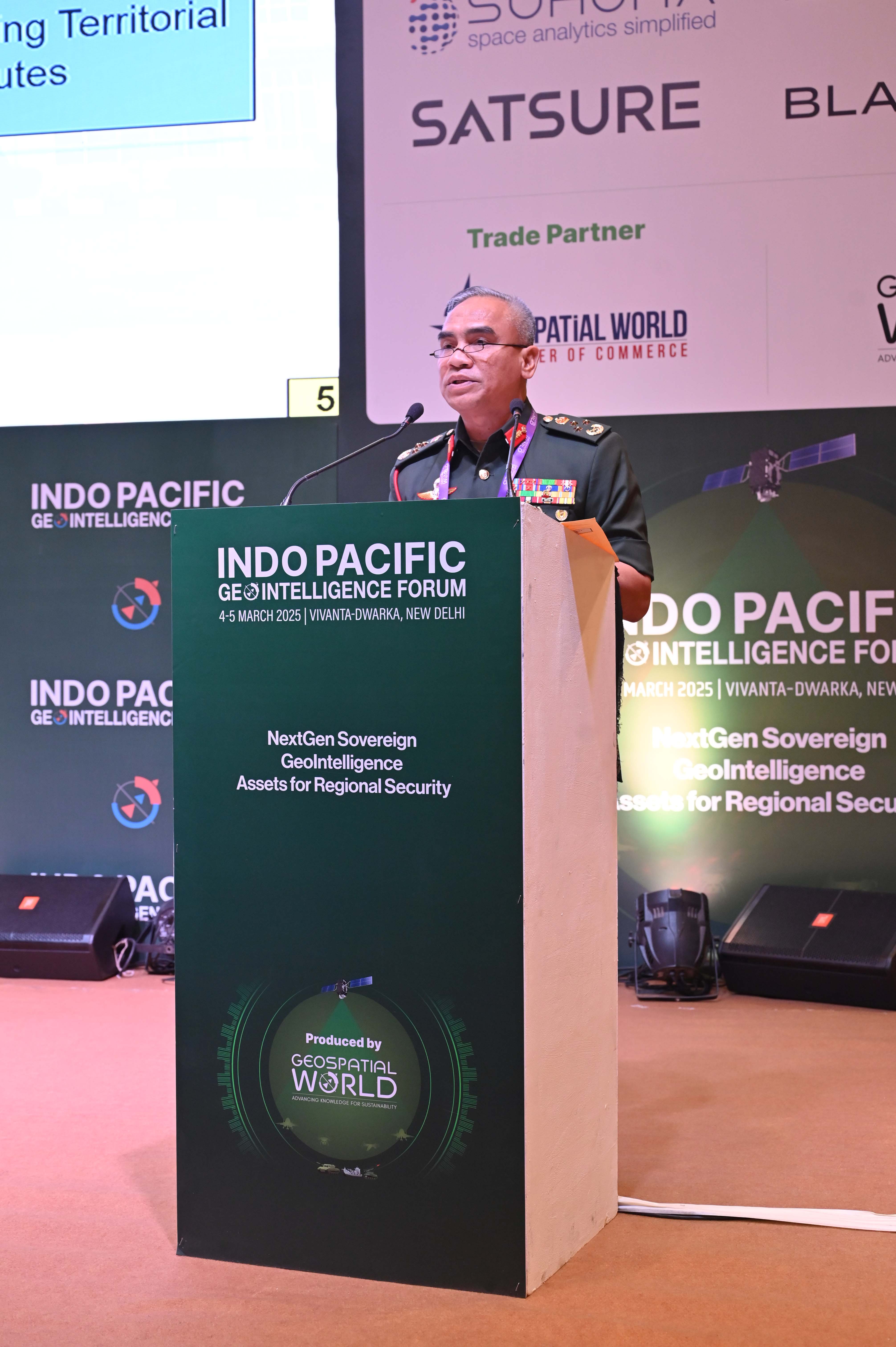
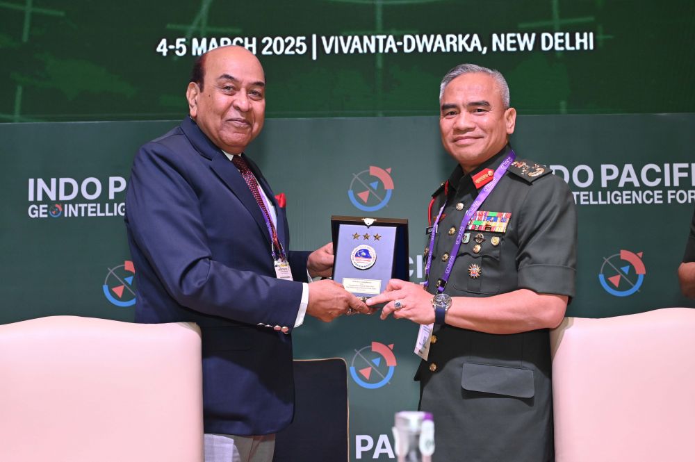
1. On the second day, March 4, 2025, in Plenary 1, themed “Global Geopolitical Scenario and Regional Security Environment,” MiDAS’s Chief Executive, Lt Gen Dato’ Seri Haji Muhammad Huzaimi bin Sabri, presented a talk titled “Regional Geopolitical Scenario and Security Environment: Malaysia’s Perspective.”
2. On the third day, March 5, 2025, MiDAS’s Director of Contemporary Security, Col Dr Mahendra a/l K Sekaran Nair, delivered a lecture titled “Cloud Computing and Data Integration.” Being invited as an international speaker was a great honor and recognition for MiDAS at the international level.
In addition to these activities, several other events were organized by the hosts. On the first day, March 3, 2025, from 2:00 PM to 5:00 PM, a roundtable discussion was held on the topic “How should Asia-Pacific Nations Invest in Remote Sensing Capabilities in the face of the Current Duopoly in the Market.” The discussion was chaired by Lt Gen AKS Chandele (Retired), the Chairman of the Geospatial World, India. Also present at the roundtable were MiDAS’s representative, Col Dr Mahendra K Sekaran Nair, along with 30 other attendees, including organizers, Geo-Intelligence and Geo-Spatial organizations, and several companies from the relevant industry. The discussion focused on various prepared questions, with participants providing their views on the topics. The discussion addressed the concept of duopoly in the remote sensing market, dominated by the United States and China, which control 80 percent of the market. Security aspects of data usage from the US and China were also discussed, along with the implications of using processed data. Many participants agreed that raw data is more suitable for use than processed data, as its interpretation may be biased and more favorable to the data provider. The discussion also covered Machine Learning and Artificial Intelligence (MLAI), examining the development of relevant software based on specific needs.
On the second day, another plenary session titled “Defence Geospatial Platform and Knowledge Infrastructure for Enabling Digital Twins and Actionable Intelligence” discussed issues related to satellite technology as part of space, cyber, and maritime domains. The plenary also addressed the importance of dominance in Geo-Intelligence and Geo-Spatial sectors. In addition to the forum, there was an exhibition by several companies in the relevant field, held at the exhibition area outside the Vivanta Hotel.
On the third day, several discussion tracks were held, including Track 1, which focused on technology. This track discussed the implementation of cloud computing and the integration of various systems’ data. The use of geospatial technology to generate 3D models with the help of Artificial Intelligence was presented by an academic representative and Esri, a leading company in the field.
There was also a side event organized by the High Commission of Malaysia in New Delhi, which included a breaking of fast (iftar), tahlil, and moreh, attended by the High Commissioner, Defence Advisor, and staff from the High Commission.
The forum provided an excellent opportunity to learn more about the integration of Geo-Spatial Systems with Geo-Intelligence, utilizing sensor equipment such as satellites, drones, and radars to assist in deeper analysis and the generation of useful information.